Learn what a geospatial PDF is, how GeoPDFs embed coordinate data, where to find them, and how to use them as georeferenced maps in the field.
What is a GeoPackage? Learn how the .gpkg format works, how it compares to Shapefiles and KML, and how to use it for field data collection.
The December 2025 edition of our newsletter reports on the most recent upgrades and enhancements including Snap to Features, faster map load times, and more.
The latest news about Touch GIS. New feature releases, bug fixes, and more.
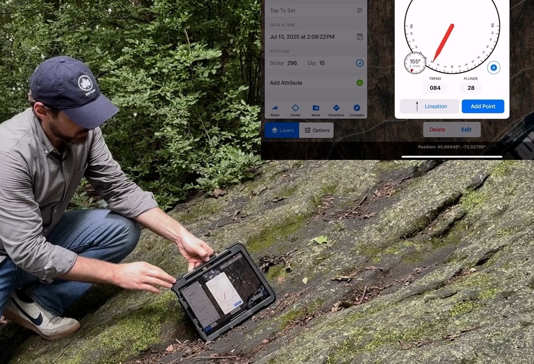
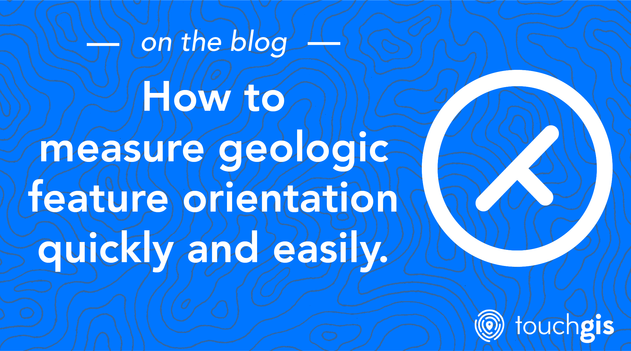
Learn how to measure Strike and Dip, Trend and Plunge, or Dip and Dip Direction with Touch GIS to save time and energy in the field.
Learn what GNSS is, how it works, the difference between GNSS and GPS, and how to mitigate common issues with GNSS in the field.
The real power of Touch GIS comes from making custom feature classes to enhance your field data collection operations. We walk through how to create those feature classes and group them into feature class datasets.
Learn what Shapefiles are, where they came from, and how they became ubiquitous in Geospatial Information Systems (GIS).
Learn what KML and KMZ files are, how Keyhole Markup Language works, and the best tools to view, edit, and convert KML data on desktop and mobile.
Join us on a tour of the project interface so you can understand what everything does and where it lives.
Get familiar with the Touch GIS field mapping app to make your fieldwork more easier and more effective. Touch GIS is the most user friendly gis mobile app available.
Touch GIS and QGIS work well together, giving you the best field mapping experience with a powerful desktop editing workflow.
We've launched a new team and account management website, a new version of our iOS app that's more stable than ever.
Despite the critical role that geological mappers play, they often work with outdated and inefficient software tools.
Caching maps before going out into the field is a critical aspect of geospatial data collection.
In this blog post, we will explore the benefits of a stand-alone GPS field mapping tool as opposed to one that requires a connection to a server or service.
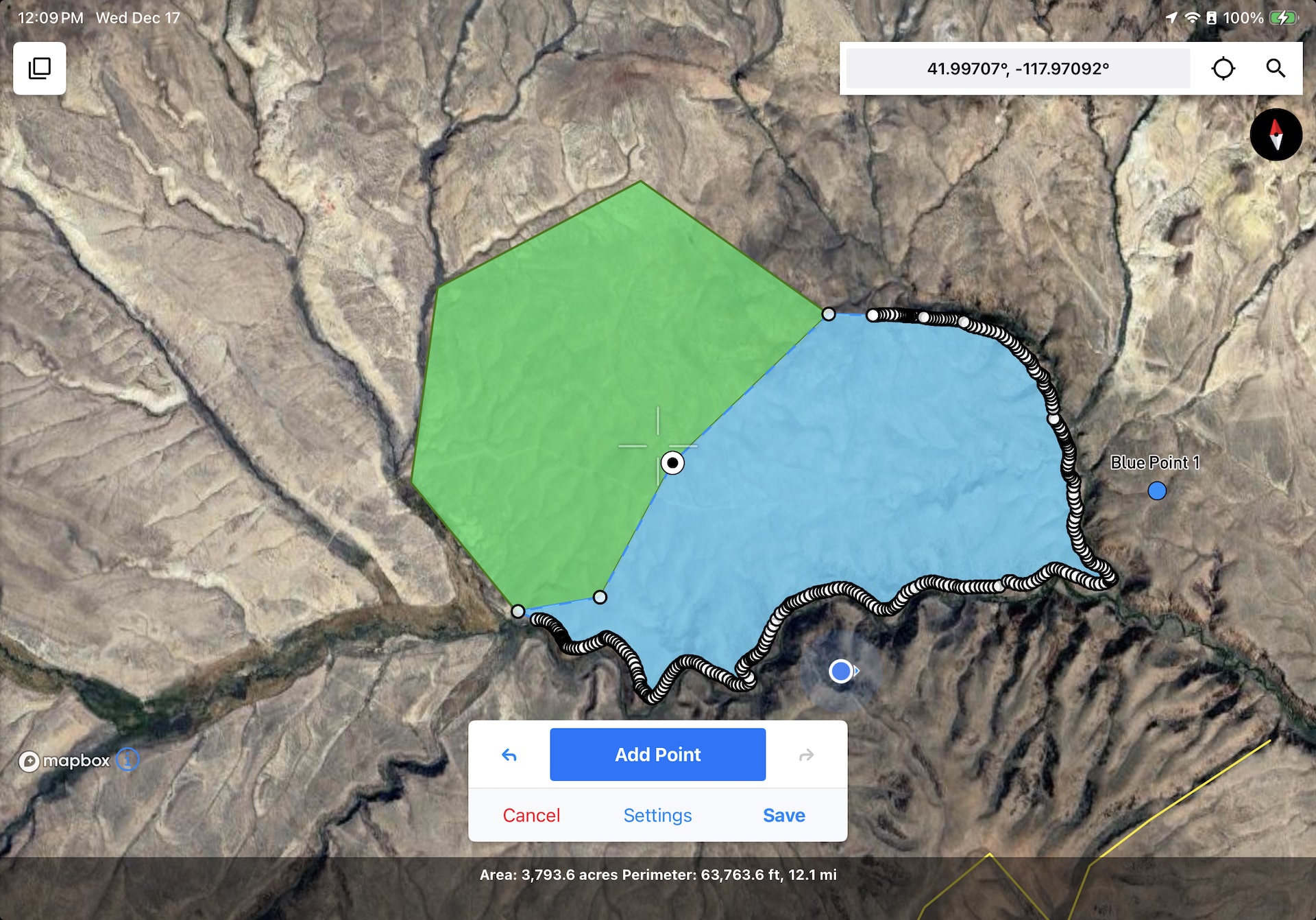
Superior map drawing tools are essential for professionals who require precision and detail in their work.
Touch GIS offers flexibility in the field due to its user-friendly and customizable interface.
With the increasing availability of digital technology, many industries have shifted from traditional paper-based methods to digital platforms.